Topic
wildfire mapping
1 post about wildfire mapping by 1 contributor.
Know wildfire mapping? Share what you know with developers who are learning it.
+ Follow wildfire mappingBe the first to follow this
- Articles
- 1
- Contributors
- 1
Articles about wildfire mapping
- Article · Robotics & Hardware
Finding the Centroid of a Polygon: Powering Real-Time Wildfire Response Systems
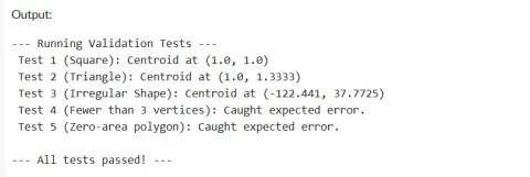
Discover how to calculate the centroid of a polygon using the shoelace formula in Python, with a focus on its critical role in real-time wildfire response systems. Learn to implement a robust centroid calculator, validate results, and handle edge cases. Explore best practices for geospatial applications, including coordinate systems and degenerate shapes. See how this geometric calculation aids emergency teams in placing command posts and predicting fire spread, ultimately saving lives and property.